| Satellite Imagery GOES West |
| Visible and Infrared from NOAA |
|
|
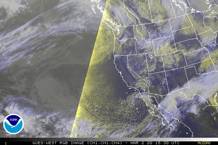
Click on the above map to enlarge, click here to animate |
4:16 AM UTC on Thursday, May 28, 2009.
| Jeff's Weather Service | Mobile |
| http://jeffsweatherservice.com/mobile | Version: 1.0Beta | |
|
|||||||||
|
|||||||||
|
Created by Jeff Chabot © 2009, last updated at 4:16 AM UTC on Thursday, May 28, 2009. |
|||||||||